
Muta topographic map
Interactive map
Click on the map to display elevation.
About this map
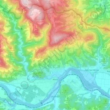
Name: Muta topographic map, elevation, terrain.
Location: Muta, 2366, Slovenia (46.59153 15.08242 46.65984 15.18986)
Average elevation: 563 m
Minimum elevation: 312 m
Maximum elevation: 1,061 m