Geolocate

Code topographic map

Click on the map to display elevation.

About this map

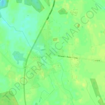
Name: Code topographic map, elevation, terrain.

Location: Code, Bauskas novads, Zemgale, LV-3910, Latvia (56.46014 24.16262 56.47919 24.18851)

Average elevation: 29 m

Minimum elevation: 20 m

Maximum elevation: 34 m

Other topographic maps

Click on a map to view its topography, its elevation and its terrain.

Ceraukste

Latvia > Zemgale > Bauskas novads

Average elevation: 29 m

Dāliņi

Latvia > Zemgale > Bauskas novads

Average elevation: 26 m

Amazones

Latvia > Zemgale > Bauskas novads > Iecavas pagasts

Average elevation: 17 m

Gear up for your next adventure:

🧺Microfibre Travel Towels - Fast-drying and compact towels for wild swimming and camping
🧊Insulated Flasks - Keeps drinks hot or cold during hikes
🧗Locking Carabiners - Secure gear to your pack or for light technical use
❄️Walking Crampons - Added traction for icy slopes and winter peak bagging
🧭Professional Hiking Compasses - High-precision liquid-filled compasses for map reading and orientation

As an Amazon Associate, this site earns from qualifying purchases at no extra cost to you.