
Maceda topographic map
Interactive map
Click on the map to display elevation.
About this map
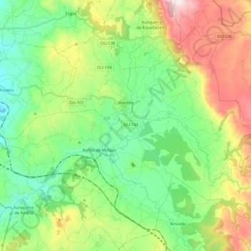
Name: Maceda topographic map, elevation, terrain.
Location: Maceda, Allariz-Maceda, Ourense, Galicia, Spain (42.19681 -7.70682 42.31650 -7.49967)
Average elevation: 657 m
Minimum elevation: 394 m
Maximum elevation: 1,183 m