Geolocate

Benbecula topographic map

Click on the map to display elevation.
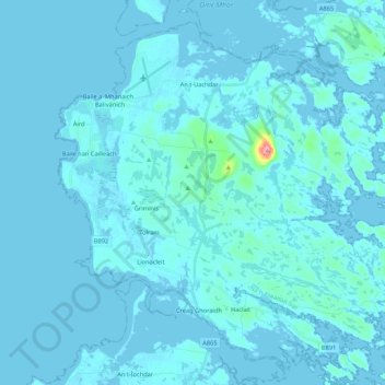
Benbecula

There is a dense cluster of lochs across almost the entire island, and almost the whole island is below 20 metres (70 feet) in elevation.

Wikipedia (CC-BY-SA 3.0)

About this map

Name: Benbecula topographic map, elevation, terrain.

Location: Benbecula, Nunton, Western Isles, Scotland, United Kingdom (57.39877 -7.41201 57.49408 -7.19778)

Average elevation: 5 m

Minimum elevation: -4 m

Maximum elevation: 122 m

Western Isles trails, hiking, mountain biking, running and outdoor activities

Gear up for your next adventure:

🧺Microfibre Travel Towels - Fast-drying and compact towels for wild swimming and camping
🗺️Topographic Maps - Detailed maps showing elevation and terrain features
🧢Thermal Beanie Hats - Prevent heat loss from the head in windy summit conditions
🚲Bikepacking Frame Bags - Storage for tools and navigation gear on long off-road rides
📱Phone Mounts for Hiking - Secure mounts to carry your phone on trails

As an Amazon Associate, this site earns from qualifying purchases at no extra cost to you.