

Mount Kailash topographic map
Click on the map to display elevation.
Mount Kailash
Mount Kailash (also Kailasa; Kangrinboqê or Gang Rinpoche; Tibetan: གངས་རིན་པོ་ཆེ; simplified Chinese: 冈仁波齐峰; traditional Chinese: 岡仁波齊峰; Sanskrit: कैलास, IAST: Kailāsa), is a mountain in the Ngari Prefecture, Tibet Autonomous Region of China. It has an altitude of 6,714 m (22,028 ft). It lies in the Kailash Range (Gangdisê Mountains) of the Transhimalaya, in the western part of the Tibetan Plateau. Mount Kailash is less than 100 km towards the north from the western trijunction of the borders of China, India, and Nepal.
About this map
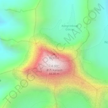
Name: Mount Kailash topographic map, elevation, terrain.
Average elevation: 5,756 m
Minimum elevation: 5,247 m
Maximum elevation: 6,585 m