
Atacama Desert topographic map
Interactive map
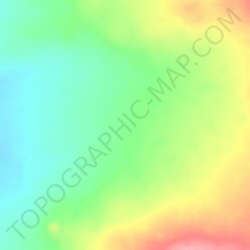
Click on the map to display elevation.
About this map
Name: Atacama Desert topographic map, elevation, terrain.
Average elevation: 1,961 m
Minimum elevation: 1,911 m
Maximum elevation: 2,025 m
The Coastal Cliff of northern Chile west of the Chilean Coast Range is the main topographical feature of the coast.[14] The geomorphology of the Atacama Desert has been characterized as a low-relief bench "similar to a giant uplifted terrace" by Armijo and co-workers.[15] The intermediate depression (or Central Valley) forms a series of endorheic basins in much of the Atacama Desert south of latitude 19°30'S. North of this latitude, the intermediate depression drains into the Pacific Ocean.[16]
Other topographic maps
Click on a map to view its topography, its elevation and its terrain.
Ojo de Agua
Chile > Antofagasta Region > Provincia de Antofagasta > Antofagasta
Ojo de Agua, Condominio Plaza Norte 6, Antofagasta, Provincia de Antofagasta, Antofagasta Region, Chile
Average elevation: 19 m