
Peterton topographic map
Interactive map
Click on the map to display elevation.
About this map
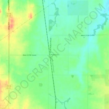
Name: Peterton topographic map, elevation, terrain.
Location: Peterton, Osage County, Kansas, 66523, United States (38.65362 -95.83693 38.69362 -95.79693)
Average elevation: 330 m
Minimum elevation: 312 m
Maximum elevation: 355 m
Other topographic maps
Click on a map to view its topography, its elevation and its terrain.
Carbondale
United States > Kansas > Osage County
Carbondale, Osage County, Kansas, United States
Average elevation: 340 m