
Heber topographic map
Click on the map to display elevation.
Heber
Heber City is located at 40°30′24″N 111°24′44″W / 40.506793°N 111.412292°W / 40.506793; -111.412292 (40.506793, -111.412292), at an elevation of 5595 feet. The region in which Heber City is located is known as the Wasatch Back.
About this map
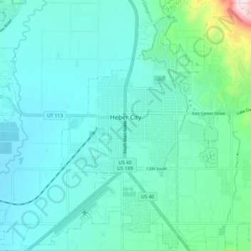
Name: Heber topographic map, elevation, terrain.
Location: Heber, Wasatch County, Utah, 84032, United States (40.47148 -111.44473 40.53675 -111.35712)
Average elevation: 1,737 m
Minimum elevation: 1,662 m
Maximum elevation: 2,170 m
Other topographic maps
Click on a map to view its topography, its elevation and its terrain.