
Sudbury Basin topographic map
Interactive map
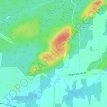
Click on the map to display elevation.
About this map
Name: Sudbury Basin topographic map, elevation, terrain.
Average elevation: 281 m
Minimum elevation: 266 m
Maximum elevation: 319 m
Other topographic maps
Click on a map to view its topography, its elevation and its terrain.
Garson
Canada > Ontario > Sudbury District > Greater Sudbury
Garson, Greater Sudbury, Sudbury District, Northeastern Ontario, Ontario, P3L 1T7, Canada
Average elevation: 292 m