
Etten-Leur topographic map
Interactive map
Click on the map to display elevation.
About this map
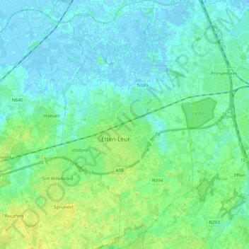
Name: Etten-Leur topographic map, elevation, terrain.
Location: Etten-Leur, North Brabant, Netherlands (51.51721 4.59042 51.63475 4.69463)
Average elevation: 5 m
Minimum elevation: -3 m
Maximum elevation: 15 m
Dutch topographic map of Etten-Leur (town), March 2014