

Garibaldi Lake topographic map
Click on the map to display elevation.
Garibaldi Lake
All recreational activities in the area are governed by the regulations of Garibaldi Provincial Park. Primary access to the lake is via the 9 km (5.6 mi) long Garibaldi Lake Trail, which gains approximately 920 m (3,020 ft) of elevation from the Rubble Creek Trailhead. There are campgrounds and day-use shelters on the west shore of Garibaldi Lake, and also farther northwest at Taylor Meadows. Nearly all sites have tent platforms to protect the surrounding ecosystem. During the summer, access to the eastern end of the lake is severely limited, since no trails have been constructed along the steep and unstable slopes which plunge directly into the lake. During winter, the lake is typically frozen from late December to late April, allowing backcountry skiers and snowshoers to easily reach the far shore. A pair of small alpine huts are located in Sphinx Bay on the eastern shore and Sentinel Bay at the southeastern tip of the lake.
About this map
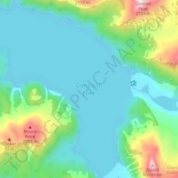
Name: Garibaldi Lake topographic map, elevation, terrain.
Average elevation: 1,620 m
Minimum elevation: 1,460 m
Maximum elevation: 2,175 m