
Thank you for supporting this site ❤️
Make a donation
Make a donation
Gear up for your next adventure:
As an Amazon Associate, this site earns from qualifying purchases at no extra cost to you.
Shefford topographic map
Click on the map to display elevation.
Thank you for supporting this site ❤️
Make a donation
Make a donation
Gear up for your next adventure:
As an Amazon Associate, this site earns from qualifying purchases at no extra cost to you.
About this map
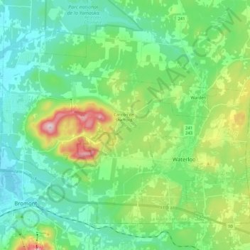
Name: Shefford topographic map, elevation, terrain.
Location: Shefford, La Haute-Yamaska, Estrie, Quebec, Canada (45.30719 -72.66647 45.42055 -72.46141)
Average elevation: 211 m
Minimum elevation: 108 m
Maximum elevation: 511 m
Thank you for supporting this site ❤️
Make a donation
Make a donation
Gear up for your next adventure:
As an Amazon Associate, this site earns from qualifying purchases at no extra cost to you.