
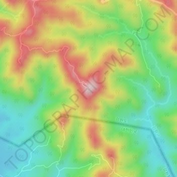
삼각고지 topographic map
Interactive map
Click on the map to display elevation.
About this map
Name: 삼각고지 topographic map, elevation, terrain.
Location: 삼각고지, Kimhwa County, Kangwon, North Korea (38.32123 127.46455 38.32133 127.46465)
Average elevation: 391 m
Minimum elevation: 251 m
Maximum elevation: 577 m