Geolocate

Toledo topographic map

Click on the map to display elevation.

About this map
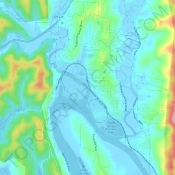
Name: Toledo topographic map, elevation, terrain.

Location: Toledo, Lincoln County, Oregon, 97391, United States (44.59906 -123.95459 44.63829 -123.91294)

Average elevation: 37 m

Minimum elevation: -5 m

Maximum elevation: 181 m

Gear up for your next adventure:

🔥Emergency Fire Starters - Reliable ignition tools for survival situations in damp conditions
👟Men's Trail Running Shoes - Lightweight grip for fast movement over topographic contours
🧵Survival Paracord - Multi-purpose cordage for emergency repairs and shelters
🧤Thermal Touchscreen Gloves - Stay warm while operating your GPS or smartphone camera
☕Insulated Travel Mugs - Keep drinks hot while surveying the landscape from a summit

As an Amazon Associate, this site earns from qualifying purchases at no extra cost to you.