
Suben topographic map
Interactive map
Click on the map to display elevation.
About this map
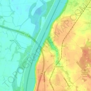
Name: Suben topographic map, elevation, terrain.
Location: Suben, Bezirk Schärding, Upper Austria, 4975, Austria (48.39626 13.42016 48.42573 13.46610)
Average elevation: 321 m
Minimum elevation: 303 m
Maximum elevation: 342 m