
Elephant Pound Rajaji National park Uttrakhand topographic map
Interactive map
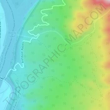
Click on the map to display elevation.
About this map
Name: Elephant Pound Rajaji National park Uttrakhand topographic map, elevation, terrain.
Average elevation: 455 m
Minimum elevation: 328 m
Maximum elevation: 774 m
Other topographic maps
Click on a map to view its topography, its elevation and its terrain.
Neelkanth Mahadev
India > Uttarakhand > Yamkeshwar
Neelkanth Mahadev, Yamkeshwar, Pauri Garhwal District, Uttarakhand, 249304, India
Average elevation: 898 m
Bhadasi
India > Uttarakhand > Yamkeshwar > Bhadsi
Bhadasi, Bhadsi, Yamkeshwar, Pauri Garhwal, Uttarakhand, 249302, India
Average elevation: 908 m
Yamkeshwar
India > Uttarakhand > Yamkeshwar
Yamkeshwar, Pauri Garhwal, Uttarakhand, India
Average elevation: 762 m
Devikhal
India > Uttarakhand > Yamkeshwar > Devikhal
Devikhal, Yamkeshwar, Pauri Garhwal, Uttarakhand, 246173, India
Average elevation: 1,136 m