
Deersville topographic map
Interactive map
Click on the map to display elevation.
About this map
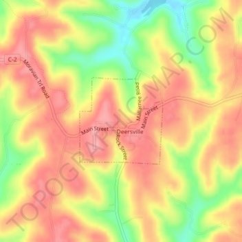
Name: Deersville topographic map, elevation, terrain.
Location: Deersville, Harrison County, Ohio, 44693, United States (40.30392 -81.19388 40.31363 -81.18167)
Average elevation: 341 m
Minimum elevation: 275 m
Maximum elevation: 382 m