
Mauthausen topographic map
Interactive map
Click on the map to display elevation.
About this map
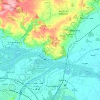
Name: Mauthausen topographic map, elevation, terrain.
Location: Mauthausen, Bezirk Perg, Upper Austria, 4310, Austria (48.23099 14.48906 48.26203 14.58360)
Average elevation: 275 m
Minimum elevation: 235 m
Maximum elevation: 388 m