Geolocate

Valmadonna topographic map

Click on the map to display elevation.

About this map
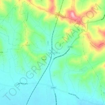
Name: Valmadonna topographic map, elevation, terrain.

Location: Valmadonna, Alessandria, Piedmont, 15048, Italy (44.95104 8.59174 44.99104 8.63174)

Average elevation: 146 m

Minimum elevation: 95 m

Maximum elevation: 264 m

Gear up for your next adventure:

🧦Merino Wool Hiking Socks - Moisture-wicking socks to prevent blisters during long mountain walks
🧴Tick Removal Tools - Small, essential health tool for UK woodland and moorland
📚UK Hiking Guidebooks - Detailed route descriptions for the Lake District, Peaks, and Highlands
🧢Waterproof Hiking Hats - Keep the rain off your face while studying topographic maps
📍Handheld GPS Navigators - Reliable satellite navigation for hiking and off-road exploration

As an Amazon Associate, this site earns from qualifying purchases at no extra cost to you.