
Perímetro Urbano Neiva topographic map
Interactive map
Click on the map to display elevation.
About this map
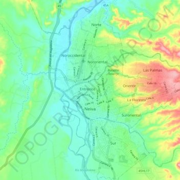
Name: Perímetro Urbano Neiva topographic map, elevation, terrain.
Average elevation: 469 m
Minimum elevation: 419 m
Maximum elevation: 588 m
Due to its location near the equator and its low altitude, the city has a hot annual average climate with daytime temperatures ranging from 88 to 95 degrees Fahrenheit. It is about 300 kilometers / 186.4 miles (about a five-hour drive) from the Colombian capital, Bogotá.