
Chinchali topographic map
Interactive map
Click on the map to display elevation.
About this map
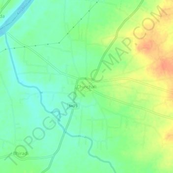
Name: Chinchali topographic map, elevation, terrain.
Average elevation: 540 m
Minimum elevation: 523 m
Maximum elevation: 565 m
Other topographic maps
Click on a map to view its topography, its elevation and its terrain.
Harugeri
India > Karnataka > Raybag taluk
Harugeri, Raybag taluk, Belgaum district, Karnataka, 591220, India
Average elevation: 559 m