
Nashville topographic map
Interactive map
Click on the map to display elevation.
About this map
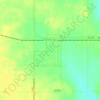
Name: Nashville topographic map, elevation, terrain.
Location: Nashville, Kingman County, Kansas, United States (37.43455 -98.42810 37.44313 -98.41890)
Average elevation: 537 m
Minimum elevation: 524 m
Maximum elevation: 545 m
Other topographic maps
Click on a map to view its topography, its elevation and its terrain.
Kingman
United States > Kansas > Kingman County > Kingman
Kingman, Kingman County, Kansas, United States
Average elevation: 478 m
Cunningham
United States > Kansas > Kingman County > Cunningham
Cunningham, Kingman County, Kansas, United States
Average elevation: 522 m