
Bourscheid topographic map
Interactive map
Click on the map to display elevation.
About this map
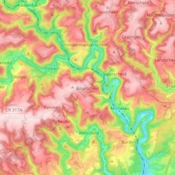
Name: Bourscheid topographic map, elevation, terrain.
Location: Bourscheid, Canton Diekirch, Luxembourg (49.86515 6.01134 49.95525 6.13172)
Average elevation: 381 m
Minimum elevation: 198 m
Maximum elevation: 515 m