
Watonga topographic map
Interactive map
Click on the map to display elevation.
About this map
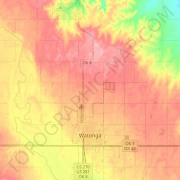
Name: Watonga topographic map, elevation, terrain.
Location: Watonga, Blaine County, Oklahoma, 73772, United States (35.81784 -98.44527 35.94064 -98.38875)
Average elevation: 467 m
Minimum elevation: 398 m
Maximum elevation: 507 m