Geolocate

Pattemouche topographic map

Click on the map to display elevation.

About this map
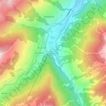
Name: Pattemouche topographic map, elevation, terrain.

Location: Pattemouche, Pragelato, Torino, Piedmont, 10058, Italy (44.96676 6.89967 45.00676 6.93967)

Average elevation: 1,912 m

Minimum elevation: 1,529 m

Maximum elevation: 2,387 m

Gear up for your next adventure:

🚶Walking Pedometers - Simple distance tracking for casual trail walkers
👖Packable Overtrousers - Quick-deploy rain protection for legs in sudden storms
🎒Hiking Backpacks - Comfortable backpacks for day hikes and multi-day treks
🔥Reusable Hand Warmers - Maintain dexterity in your fingers for precise map handling
🔦LED Camping Lanterns - Illumination for reading maps inside your tent at night

As an Amazon Associate, this site earns from qualifying purchases at no extra cost to you.