
Šenčur topographic map
Interactive map
Click on the map to display elevation.
About this map
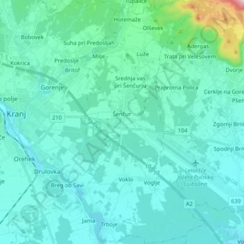
Name: Šenčur topographic map, elevation, terrain.
Location: Šenčur, Slovenia (46.18827 14.38591 46.29068 14.46933)
Average elevation: 408 m
Minimum elevation: 339 m
Maximum elevation: 952 m