Geolocate

Pathein topographic map

Click on the map to display elevation.

About this map

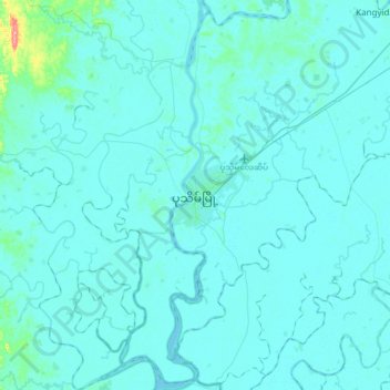
Name: Pathein topographic map, elevation, terrain.

Location: Pathein, Pathein Township, Pathein, Ayeyarwady, 10011, Myanmar (16.62333 94.57333 16.94333 94.89333)

Average elevation: 7 m

Minimum elevation: -1 m

Maximum elevation: 121 m

Gear up for your next adventure:

🚲Bikepacking Frame Bags - Storage for tools and navigation gear on long off-road rides
🧺Ultralight Dry Bags - Organize and waterproof your gear inside your rucksack
🥼Base Layers - Thermal base layers for temperature regulation
❄️Walking Crampons - Added traction for icy slopes and winter peak bagging
📦Compression Sacks - Reduce backpack volume efficiently

As an Amazon Associate, this site earns from qualifying purchases at no extra cost to you.