
Saint-André-de-l'Eure topographic map
Interactive map
Click on the map to display elevation.
About this map
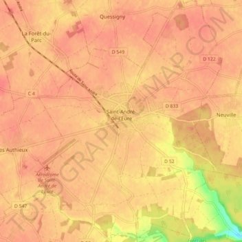
Name: Saint-André-de-l'Eure topographic map, elevation, terrain.
Average elevation: 144 m
Minimum elevation: 104 m
Maximum elevation: 155 m
Other topographic maps
Click on a map to view its topography, its elevation and its terrain.