
Pikeville topographic map
Interactive map
Click on the map to display elevation.
About this map
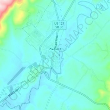
Name: Pikeville topographic map, elevation, terrain.
Location: Pikeville, Bledsoe County, Tennessee, United States (35.57779 -85.22235 35.62779 -85.18360)
Average elevation: 278 m
Minimum elevation: 241 m
Maximum elevation: 530 m