Geolocate

Basseang topographic map

Click on the map to display elevation.

About this map

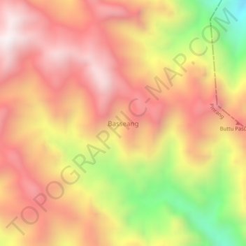
Name: Basseang topographic map, elevation, terrain.

Location: Basseang, Pinrang, South Sulawesi, Sulawesi, Indonesia (-3.38445 119.61415 -3.34445 119.65415)

Average elevation: 1,445 m

Minimum elevation: 698 m

Maximum elevation: 1,924 m

Other topographic maps

Click on a map to view its topography, its elevation and its terrain.

Gear up for your next adventure:

🎒Hiking Child Carriers - Explore the outdoors with the whole family safely
Lightweight Solo Tents - Backpacking tents designed for wild camping in the UK highlands
🧥Softshell Jackets - Breathable jackets for active outdoor use
🛑Emergency Bivvy Bags - Heat-reflective survival bags for unexpected nights out
🥾Walking Shoes - Lightweight walking shoes for countryside and coastal paths

As an Amazon Associate, this site earns from qualifying purchases at no extra cost to you.