Geolocate

Jhimar topographic map

Click on the map to display elevation.

About this map

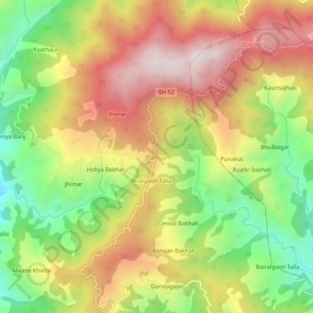
Name: Jhimar topographic map, elevation, terrain.

Location: Jhimar, Molekhal, Almora, Uttarakhand, India (29.72613 79.13525 29.76613 79.17525)

Average elevation: 1,663 m

Minimum elevation: 1,272 m

Maximum elevation: 2,048 m

Gear up for your next adventure:

📍Handheld GPS Navigators - Reliable satellite navigation for hiking and off-road exploration
👟Women's Trail Running Shoes - Agile footwear for fell running and technical trails
🥾Hiking Boots - Waterproof and durable boots for long-distance hiking in the UK
🔦Keychain LED Torches - Emergency backup light for finding gear in your pack
🎒Hiking Daypacks (20L) - Compact backpacks for day trips and technical mountain ascents

As an Amazon Associate, this site earns from qualifying purchases at no extra cost to you.