Geolocate

Ayala topographic map

Click on the map to display elevation.

About this map

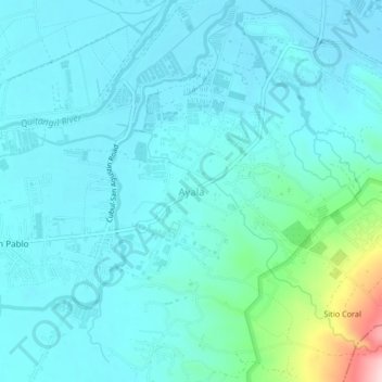
Name: Ayala topographic map, elevation, terrain.

Location: Ayala, Magalang, Central Luzon, 2011, Philippines (15.20362 120.67743 15.24362 120.71743)

Average elevation: 53 m

Minimum elevation: 16 m

Maximum elevation: 269 m

Gear up for your next adventure:

🔋Lithium AA Batteries - Long-lasting power that performs well in cold mountain weather
🧺Ultralight Dry Bags - Organize and waterproof your gear inside your rucksack
📻Hand-Crank Emergency Radios - Stay updated on weather warnings in remote areas
🛰️Outdoor GPS Navigation - Navigation devices for remote and off-grid areas
🧦Merino Wool Hiking Socks - Moisture-wicking socks to prevent blisters during long mountain walks

As an Amazon Associate, this site earns from qualifying purchases at no extra cost to you.