
Die See topographic map
Interactive map
Click on the map to display elevation.
About this map
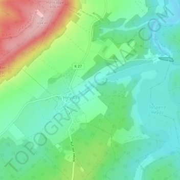
Name: Die See topographic map, elevation, terrain.
Location: Die See, Ilmenau, Ilm-Kreis, Thuringia, Germany (50.73453 10.93729 50.73775 10.94484)
Average elevation: 462 m
Minimum elevation: 397 m
Maximum elevation: 604 m