Geolocate

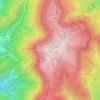
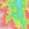
Seebach topographic map

Click on the map to display elevation.

About this map
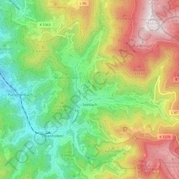
Name: Seebach topographic map, elevation, terrain.

Location: Seebach, GVV Kappelrodeck, Ortenaukreis, Baden-Württemberg, 77889, Germany (48.55816 8.14728 48.60415 8.23703)

Average elevation: 615 m

Minimum elevation: 233 m

Maximum elevation: 1,163 m

Other topographic maps

Click on a map to view its topography, its elevation and its terrain.

Sommerseite

Germany > Baden-Württemberg > Ortenaukreis > Seebach

Average elevation: 599 m

Kernhof

Germany > Baden-Württemberg > Ortenaukreis > Seebach

Average elevation: 755 m

Schliffkopf

Germany > Baden-Württemberg > Ortenaukreis > Oppenau

Average elevation: 864 m

Waldulm

Germany > Baden-Württemberg > Ortenaukreis

Average elevation: 287 m

Hilsenhof

Germany > Baden-Württemberg > Ortenaukreis > Seebach

Average elevation: 529 m

Gear up for your next adventure:

🎒Hiking Child Carriers - Explore the outdoors with the whole family safely
🔭Compact Hiking Binoculars - Lightweight optics for scouting terrain and spotting wildlife
📚UK Hiking Guidebooks - Detailed route descriptions for the Lake District, Peaks, and Highlands
⌚Altimeter Watches - Watches measuring altitude for mountain activities
📸Action Camera Chest Mounts - Record your ascent following topographic paths hands-free

As an Amazon Associate, this site earns from qualifying purchases at no extra cost to you.