
Trà Vinh topographic map
Interactive map
Click on the map to display elevation.
About this map
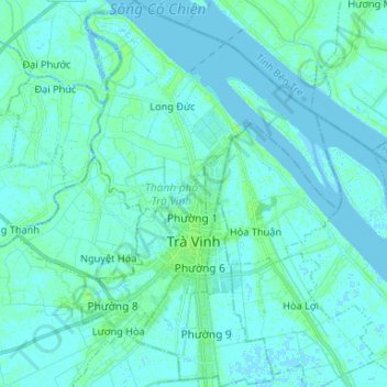
Name: Trà Vinh topographic map, elevation, terrain.
Location: Trà Vinh, Vĩnh Long Province, Vietnam (9.88663 106.30030 10.01636 106.39015)
Average elevation: 2 m
Minimum elevation: -3 m
Maximum elevation: 10 m
Other topographic maps
Click on a map to view its topography, its elevation and its terrain.