
Lumajang topographic map
Interactive map
Click on the map to display elevation.
About this map
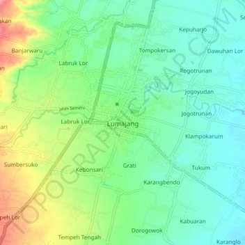
Name: Lumajang topographic map, elevation, terrain.
Location: Lumajang, East Java, 67312, Indonesia (-8.17521 113.18442 -8.09521 113.26442)
Average elevation: 55 m
Minimum elevation: 28 m
Maximum elevation: 116 m