
Mullerthal topographic map
Interactive map
Click on the map to display elevation.
About this map
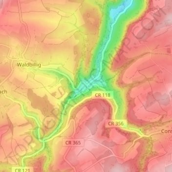
Name: Mullerthal topographic map, elevation, terrain.
Location: Mullerthal, Waldbillig, Canton Echternach, 6245, Luxembourg (49.77027 6.28711 49.81027 6.32711)
Average elevation: 313 m
Minimum elevation: 190 m
Maximum elevation: 377 m