
Sitapur topographic map
Interactive map
Click on the map to display elevation.
About this map
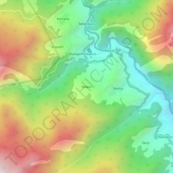
Name: Sitapur topographic map, elevation, terrain.
Location: Sitapur, Ukhimath, Rudraprayag, Uttarakhand, 246471, India (30.59714 78.97867 30.63714 79.01867)
Average elevation: 2,062 m
Minimum elevation: 1,506 m
Maximum elevation: 2,856 m