Geolocate

Molini topographic map

Click on the map to display elevation.

About this map
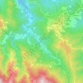
Name: Molini topographic map, elevation, terrain.

Location: Molini, Fraconalto, Alessandria, Piedmont, Italy (44.56534 8.84814 44.60534 8.88814)

Average elevation: 624 m

Minimum elevation: 371 m

Maximum elevation: 1,039 m

Gear up for your next adventure:

🥫Expedition Meals - Lightweight, high-calorie nutrition for long-distance hikers
🦟Anti-Midge & Tick Repellent - Vital for hiking in the Scottish Highlands during summer
🎒Hiking Child Carriers - Explore the outdoors with the whole family safely
🔋Solar Power Banks - Keep your GPS and phone charged during multi-day expeditions
🥾Hiking Boot Waterproofing Wax - Maintain the lifespan of your leather trekking boots

As an Amazon Associate, this site earns from qualifying purchases at no extra cost to you.