
Thank you for supporting this site ❤️
Make a donation
Make a donation
Gear up for your next adventure:
As an Amazon Associate, this site earns from qualifying purchases at no extra cost to you.
Nacho topographic map
Click on the map to display elevation.
Thank you for supporting this site ❤️
Make a donation
Make a donation
Gear up for your next adventure:
As an Amazon Associate, this site earns from qualifying purchases at no extra cost to you.
About this map
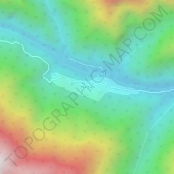
Name: Nacho topographic map, elevation, terrain.
Location: Nacho, Nacho SDO, Upper Subansiri, Arunachal Pradesh, India (28.37472 93.81607 28.41472 93.85607)
Average elevation: 1,131 m
Minimum elevation: 560 m
Maximum elevation: 2,381 m
Thank you for supporting this site ❤️
Make a donation
Make a donation
Gear up for your next adventure:
As an Amazon Associate, this site earns from qualifying purchases at no extra cost to you.