
Gavhali Tanda topographic map
Interactive map
Click on the map to display elevation.
About this map
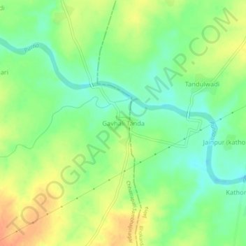
Name: Gavhali Tanda topographic map, elevation, terrain.
Location: Gavhali Tanda, Sillod, Aurangabad, Maharashtra, India (20.20477 75.65866 20.24477 75.69866)
Average elevation: 587 m
Minimum elevation: 568 m
Maximum elevation: 608 m