
Nuggehalli topographic map
Interactive map
Click on the map to display elevation.
About this map
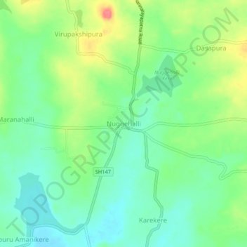
Name: Nuggehalli topographic map, elevation, terrain.
Average elevation: 895 m
Minimum elevation: 870 m
Maximum elevation: 941 m
Other topographic maps
Click on a map to view its topography, its elevation and its terrain.
Rachenahalli
India > Karnataka > Channarayapattana taluk
Rachenahalli, Channarayapattana taluk, Hassan district, Karnataka, 573135, India
Average elevation: 862 m