
Duagh topographic map
Interactive map
Click on the map to display elevation.
About this map
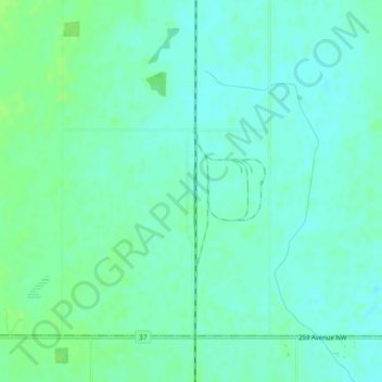
Name: Duagh topographic map, elevation, terrain.
Location: Duagh, Sturgeon County, Alberta, T5Y 6B3, Canada (53.71634 -113.39148 53.73634 -113.37148)
Average elevation: 670 m
Minimum elevation: 665 m
Maximum elevation: 674 m