
Coesfeld topographic map
Interactive map
Click on the map to display elevation.
About this map
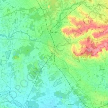
Name: Coesfeld topographic map, elevation, terrain.
Location: Coesfeld, Kreis Coesfeld, North Rhine-Westphalia, 48653, Germany (51.84623 7.05573 51.98791 7.26117)
Average elevation: 85 m
Minimum elevation: 55 m
Maximum elevation: 166 m