Geolocate

Mancak topographic map

Click on the map to display elevation.

About this map
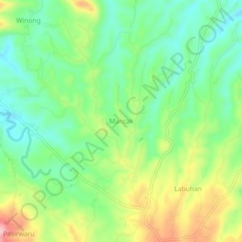
Name: Mancak topographic map, elevation, terrain.

Location: Mancak, Serang, Banten, 42114, Indonesia (-6.09840 105.96812 -6.05840 106.00812)

Average elevation: 107 m

Minimum elevation: 48 m

Maximum elevation: 207 m

Gear up for your next adventure:

🧣Neck Gaiters - Versatile protection against wind and cold
🧢Waterproof Hiking Hats - Keep the rain off your face while studying topographic maps
🧺Ultralight Dry Bags - Organize and waterproof your gear inside your rucksack
👖Convertible Hiking Trousers - Versatile zip-off pants for changing mountain weather conditions
🥄Titanium Camping Sporks - The ultimate lightweight utensil for trail meals

As an Amazon Associate, this site earns from qualifying purchases at no extra cost to you.