Geolocate

Κρηνίδες topographic map

Click on the map to display elevation.

About this map
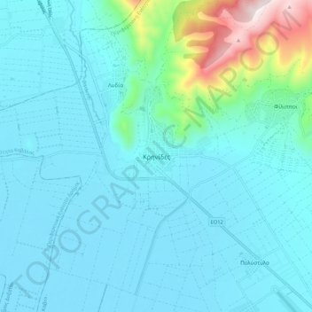
Name: Κρηνίδες topographic map, elevation, terrain.

Location: Κρηνίδες, Kavala Municipality, Kavala Regional Unit, Eastern Macedonia and Thrace, Macedonia and Thrace, 640 03, Greece (40.97207 24.25519 41.05207 24.33519)

Average elevation: 142 m

Minimum elevation: 40 m

Maximum elevation: 797 m

Other topographic maps

Click on a map to view its topography, its elevation and its terrain.

Gear up for your next adventure:

⛺Lightweight Tents - Compact tents for backpacking and trekking
🔦Waterproof LED Headlamps - Hands-free lighting for evening treks and emergency navigation
🧢Thermal Beanie Hats - Prevent heat loss from the head in windy summit conditions
🗺️Topographic Maps - Detailed maps showing elevation and terrain features
🦯Walking Poles - Supportive poles for long-distance walking

As an Amazon Associate, this site earns from qualifying purchases at no extra cost to you.