Geolocate

Limay topographic map

Click on the map to display elevation.

About this map

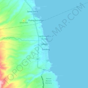
Name: Limay topographic map, elevation, terrain.

Location: Limay, Bataan, Central Luzon, 2103, Philippines (14.52252 120.55496 14.60252 120.63496)

Average elevation: 42 m

Minimum elevation: 0 m

Maximum elevation: 308 m

Gear up for your next adventure:

🗺️Ordnance Survey Maps - Essential paper maps for hiking across the UK national parks
🧵Survival Paracord - Multi-purpose cordage for emergency repairs and shelters
🧢Waterproof Hiking Hats - Keep the rain off your face while studying topographic maps
🔥Emergency Fire Starters - Reliable ignition tools for survival situations in damp conditions
👟Men's Trail Running Shoes - Lightweight grip for fast movement over topographic contours

As an Amazon Associate, this site earns from qualifying purchases at no extra cost to you.