Geolocate

Timau topographic map

Click on the map to display elevation.

About this map
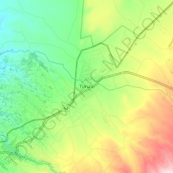
Name: Timau topographic map, elevation, terrain.

Location: Timau, Timau ward, Buuri, Meru County, Kenya (0.04594 37.19891 0.12594 37.27891)

Average elevation: 2,232 m

Minimum elevation: 2,040 m

Maximum elevation: 2,539 m

Gear up for your next adventure:

🔋Solar Power Banks - Keep your GPS and phone charged during multi-day expeditions
🧭Professional Hiking Compasses - High-precision liquid-filled compasses for map reading and orientation
🗺️Scratch-off Peak Maps - Track your progress climbing Munros or Wainwrights
⛺Lightweight Solo Tents - Backpacking tents designed for wild camping in the UK highlands
🛰️Outdoor GPS Navigation - Navigation devices for remote and off-grid areas

As an Amazon Associate, this site earns from qualifying purchases at no extra cost to you.