
Kenema topographic map
Interactive map
Click on the map to display elevation.
About this map
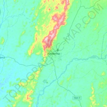
Name: Kenema topographic map, elevation, terrain.
Location: Kenema, Kenema District, Eastern Province, Sierra Leone (7.72597 -11.34638 8.04597 -11.02638)
Average elevation: 187 m
Minimum elevation: 105 m
Maximum elevation: 649 m