Geolocate

Colemans Hatch topographic map

Click on the map to display elevation.

About this map
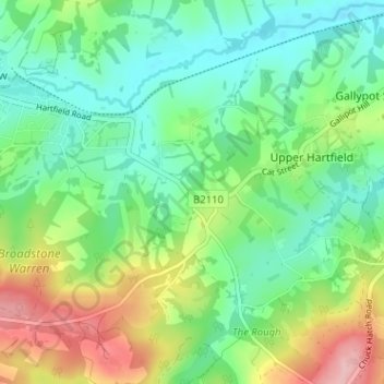
Name: Colemans Hatch topographic map, elevation, terrain.

Location: Colemans Hatch, Hartfield, Upper Hartfield, Wealden, East Sussex, England, TN7 4HN, United Kingdom (51.06603 0.04892 51.10603 0.08892)

Average elevation: 98 m

Minimum elevation: 45 m

Maximum elevation: 205 m

East Sussex trails, hiking, mountain biking, running and outdoor activities

Gear up for your next adventure:

🐕Dog Hiking Gear - Equipment for hiking safely with dogs
🛌Insulated Sleeping Mats - Crucial thermal protection when sleeping on cold, uneven ground
🧺Mesh Stuff Sacks - Breathable storage for wet gear or camp organization
🥼Base Layers - Thermal base layers for temperature regulation
🧊Insulated Flasks - Keeps drinks hot or cold during hikes

As an Amazon Associate, this site earns from qualifying purchases at no extra cost to you.